|
Figure 55 highlights how the current topography of the mountains relates to Cedar Valley. This image was put together to illustrate options for a plan to build a pipeline from Lake Powell, in the southeast corner of Utah, to Quail Creek, at the base of the mountains south of Cedar Valley. Utah has rights to water from the Colorado River, and this planned pipeline is one way to meet the water requirements of the rapidly growing population in southwest Utah. Cedar City has committed to help fund the pipeline, and will fund pumping some of the water up over the Black Ridge and into Cedar Valley. The red fence on Figure 55 is a portion of the planned pipeline. The blue fence is a proposed alternative route, where water would run down the Virgin River through Zion Canyon as a way to avoid almost half of the cost of building the pipeline.
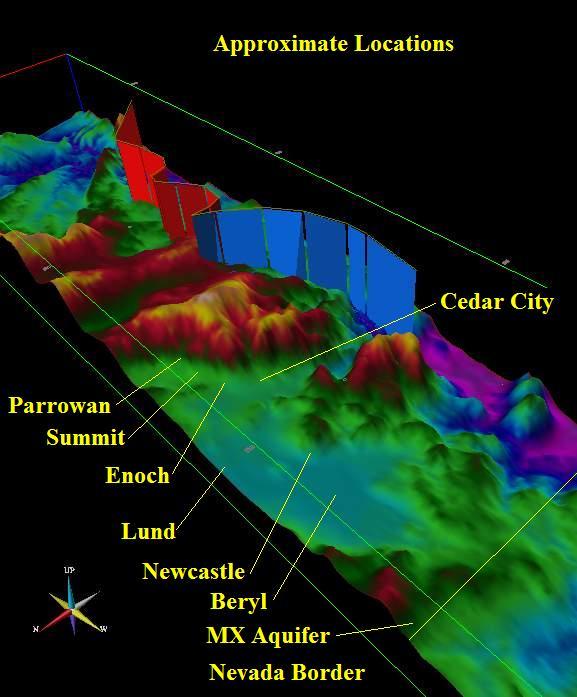
Figure 55. Proposed change to planned Lake Powell Pipeline.
|